punto de fotos

Desbloquear para ver la ubicación
Slot Canyon
Categoría
Precio
$
Mensaje de Hello Mallory
¿Quieres ver más?
He creado mapas e itinerarios para viajeros como tú.
Nearby local secrets

punto de fotos
Zebra Slot Canyon
Slot Canyon

punto de fotos
Little Wild Horse
Slot Canyon

punto de fotos
Desbloquear para ver la ubicación
Slot Canyon

punto de fotos
Desbloquear para ver la ubicación
Slot Canyon

punto de fotos
Desbloquear para ver la ubicación
Slot Canyon

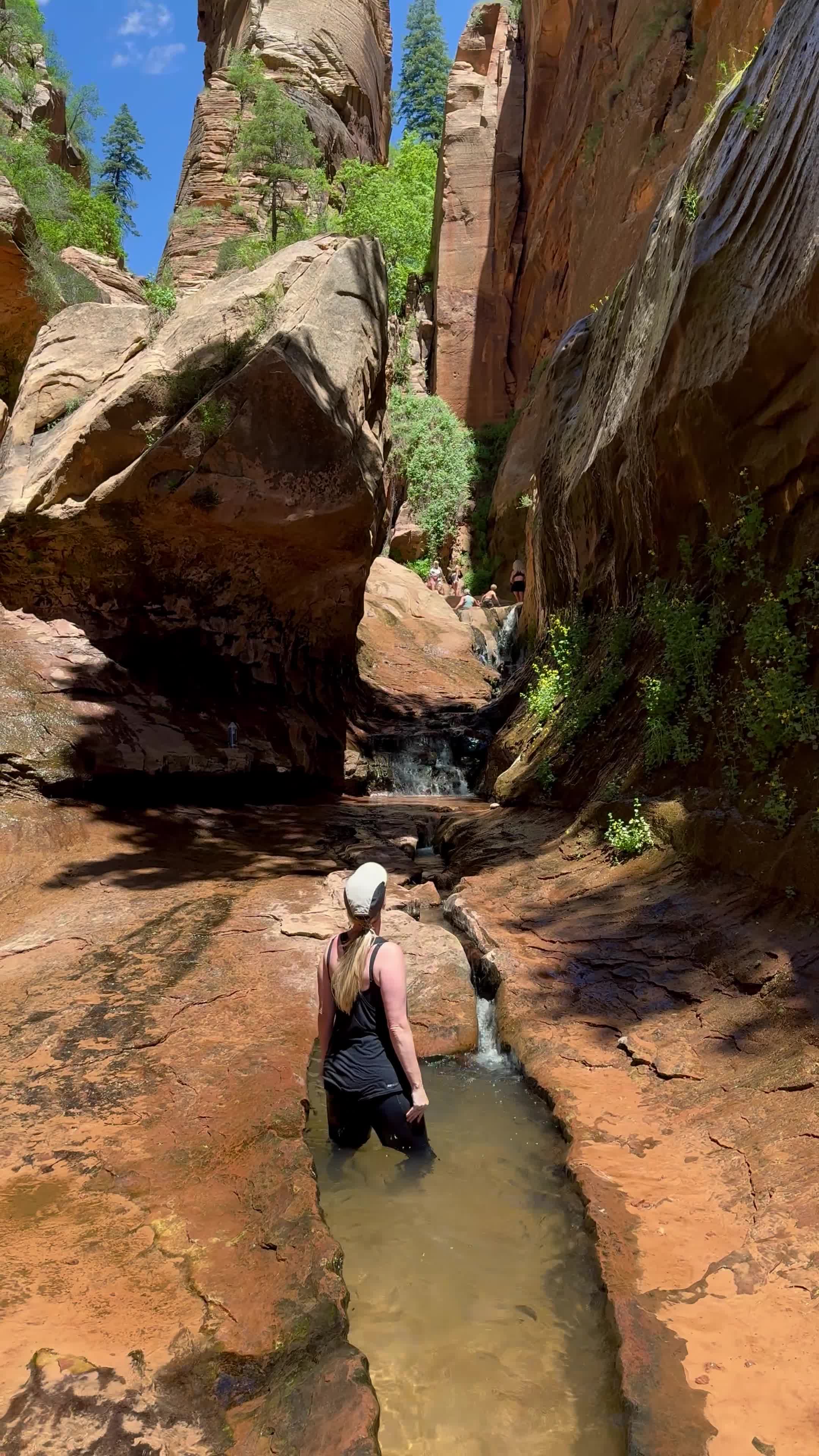
punto de fotos
The Narrows
Slot Canyon

punto de fotos
Desbloquear para ver la ubicación
Slot Canyon + Tunnel

punto de fotos
Desbloquear para ver la ubicación
Slot Canyon + Tunnel

punto de fotos
Desbloquear para ver la ubicación
Slot Canyon

punto de fotos
Desbloquear para ver la ubicación
Slot Canyon

punto de fotos
Desbloquear para ver la ubicación
Slot Canyon

punto de fotos
Kanarra Falls
Slot canyon

punto de fotos
Desbloquear para ver la ubicación
Slot Canyon

punto de fotos
Desbloquear para ver la ubicación
Slot Canyon

punto de fotos
Buckskin Gulch
Slot Canyon

punto de fotos
Desbloquear para ver la ubicación
Slot Canyon

punto de fotos
Desbloquear para ver la ubicación
Slot Canyon

punto de fotos
Desbloquear para ver la ubicación
Slot Canyon

punto de fotos
Red Canyon (aka Peekaboo)
Slot Canyon

punto de fotos
Desbloquear para ver la ubicación
Slot Canyon
punto de fotos
Desbloquear para ver la ubicación
Slot Canyon

punto de fotos
Willis Creek Narrows
Slot Canyon

punto de fotos
Desbloquear para ver la ubicación
Slot Canyon

punto de fotos
Desbloquear para ver la ubicación
Slot Canyon

¿Buscando algo que hacer?
Consulte mi guía para conocer las mejores actividades gratuitas, así como itinerarios y consejos de viaje para que su viaje sea inolvidable.
Ir a la guía
Rexby was founded in 2021 with the mission of enabling travel content creators to provide a better service and capture more of the immense value they are creating for the tourism industry
Backed by
Our licence
Kt: 6909211460
Vsk: 146757
