Hike

Unlock to see location
Waterfall
Category
Est. Duration
30-60m
Also
Photospot
Message from Sam Warren
Want to see more?
I have created curated maps and itineraries for travellers that want to travel like me.
Nearby local secrets

Hike
Unlock to see location
Mountain Cabin

Hike
Unlock to see location
Waterfall

Hike
Unlock to see location
Camping Spot

Photospot
Unlock to see location
Photospot

Hike
Unlock to see location
Lake

Photospot
Unlock to see location
Camping Spot (Camper Van)
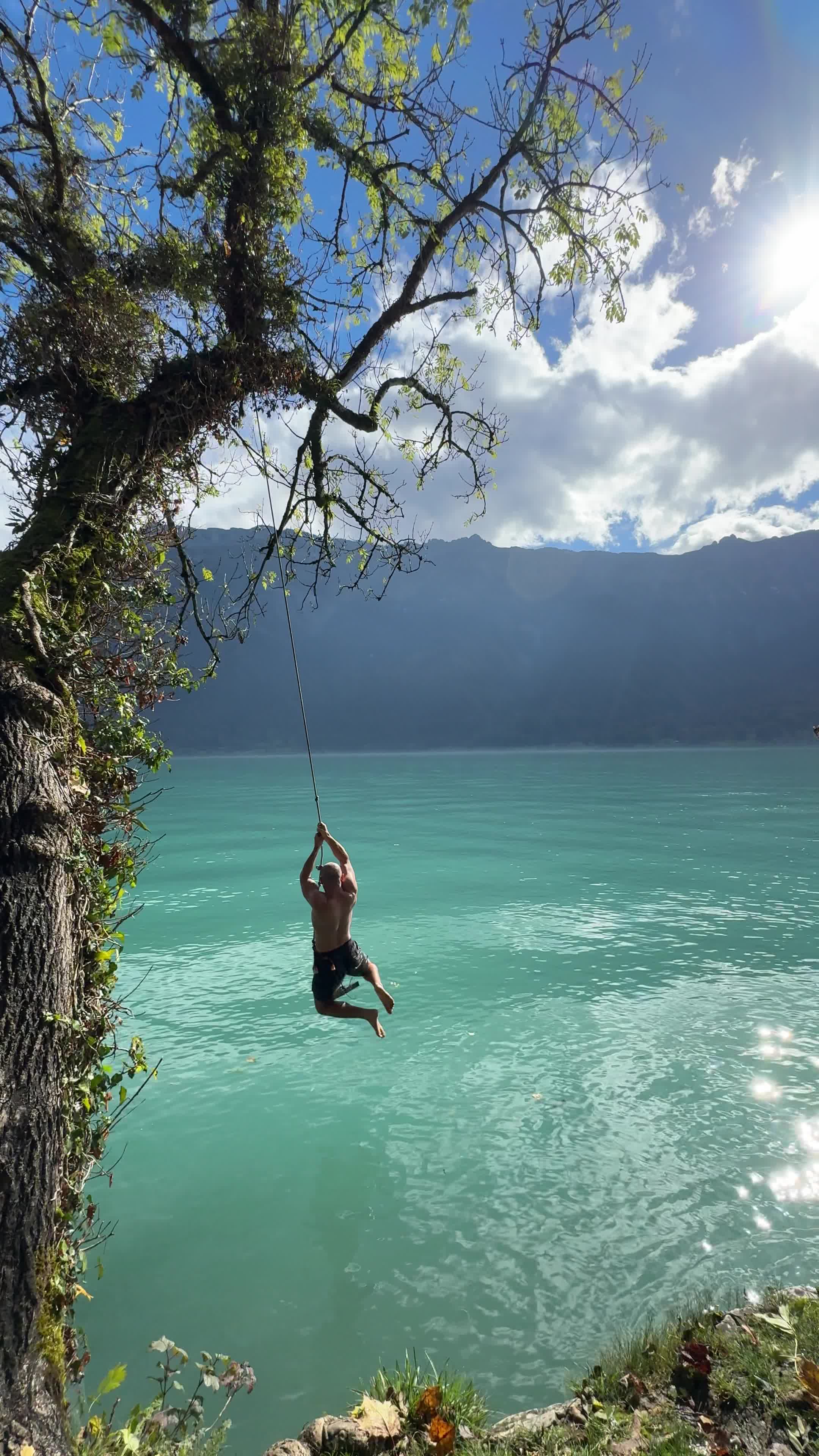
Activity
Unlock to see location
Ropeswing

Photospot
Unlock to see location
Waterfall

Hike
Unlock to see location
Waterfall

Hike
Unlock to see location
Camping Spot

Photospot
Unlock to see location
Town

Hotel
Fronalpstock Hotel
Hotel (Cable Car Access)

Photospot
Unlock to see location
Waterfall

Photospot
Unlock to see location
Photospot

Photospot
Unlock to see location
Easy Hike

Photospot
Unlock to see location
Town

Photospot
Unlock to see location
Photospot

Hike
Unlock to see location
Camping Spot

Hike
Unlock to see location
Mountain Cabin

Photospot
Unlock to see location
Town

Photospot
Unlock to see location
Scenic drive

Photospot
Unlock to see location
Photospot

Photospot
Unlock to see location
Photospot

Photospot
Iseltwald Castle
Photospot

Looking for things to do?
Go check out my guide for the best free things to do as well as itineraries and travel tips to make your trip unforgettable.
Go to Guide
Rexby was founded in 2021 with the mission of enabling travel content creators to provide a better service and capture more of the immense value they are creating for the tourism industry
Backed by
Our licence
Kt: 6909211460
Vsk: 146757
