Hike

Unlock to see location
Breathtaking lighthouse hike with stunning views
Category
Est. Duration
3-4h
Activity level
Message from Jaime & Carolina
Want to see more?
I have created curated maps and itineraries for travellers that want to travel like me.
Nearby local secrets

Park
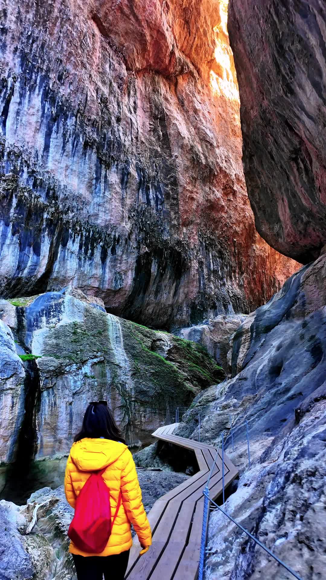
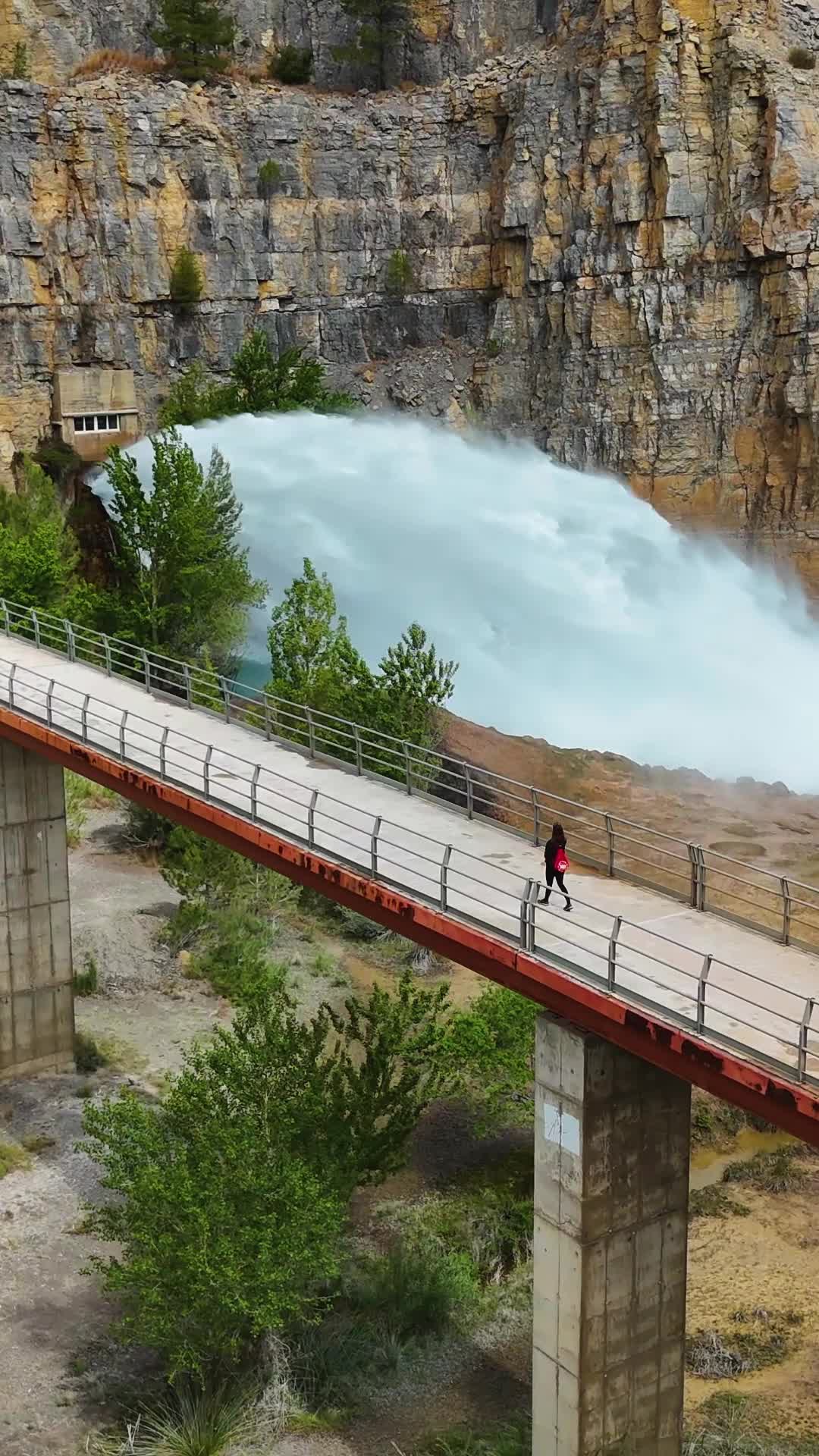
Monasterio de Piedra
Enchanting natural oasis in Spain
Hike
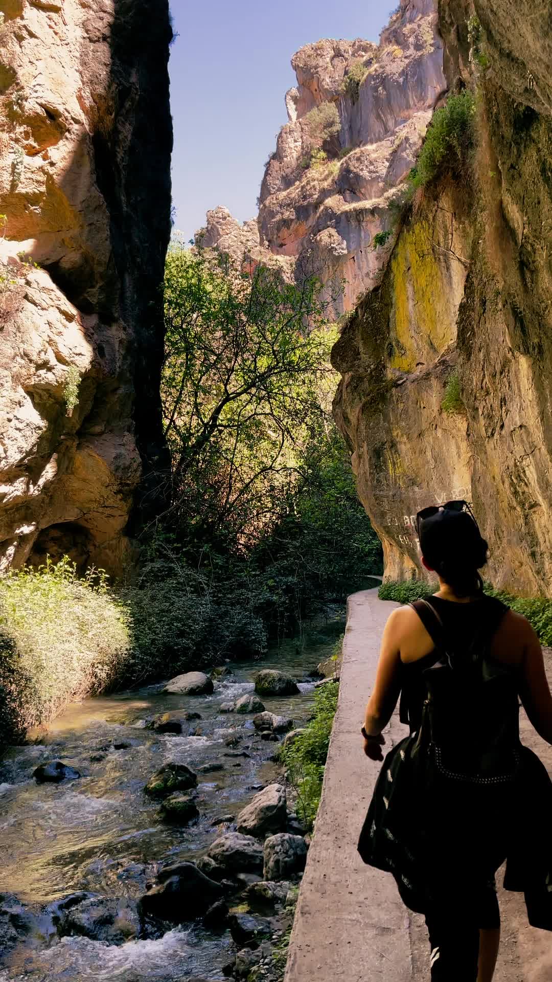
Parrizal de Beceite
Scenic river trail in Spain

Activity
Unlock to see location
Charming town built into rocks

Activity
Unlock to see location
Geological wonder with rich history

Hike
Forat de Bèrnia Hike
Hike up to a hidden tunnel with spectacular views

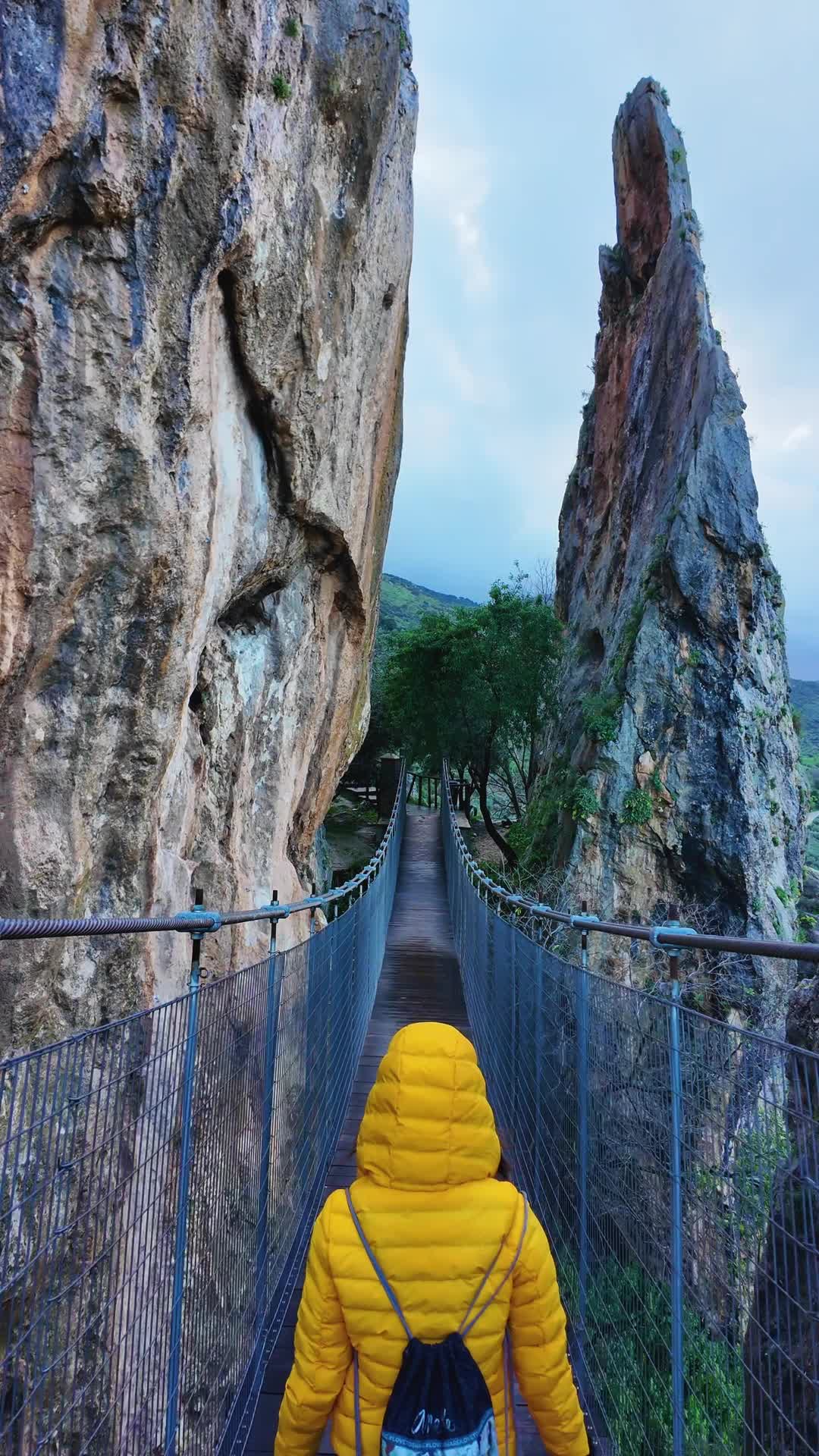
Hike
Unlock to see location
Breathtaking gorge in Spain

Activity
Unlock to see location
Stunning saltwater pools in Spain

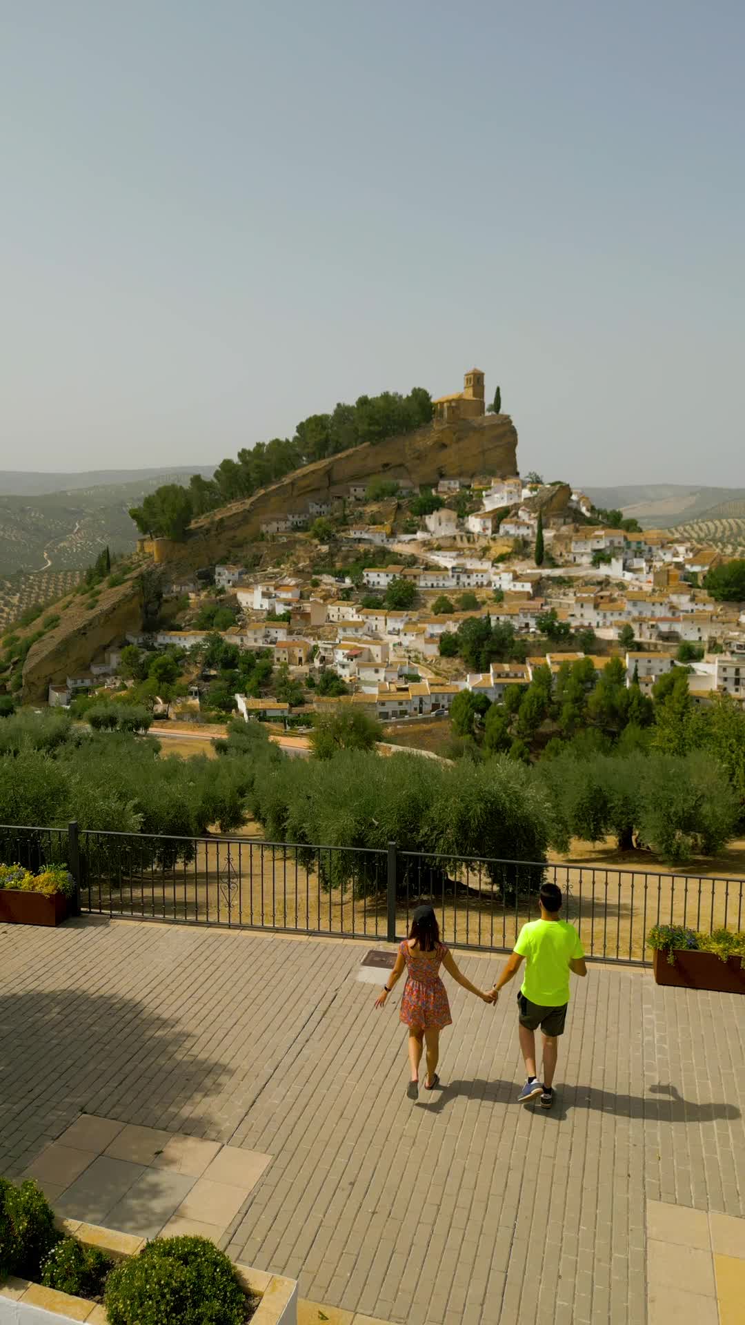
Historic
Unlock to see location
Historic castle with scenic views
Photospot
Unlock to see location
Nature lovers paradise in Spain

Beach
Las Catedrales Beach
Stunning beach with cathedral-like rocks
Activity
Unlock to see location
Charming town with stunning views
Hike
Unlock to see location
Exciting adventure trail in Sierra Nevada

Photospot
Unlock to see location
Impressive rock formations for climbers
Activity
Zuheros
Beautiful village in Andalucia

Beach
Unlock to see location
Beautiful beach in southern Spain
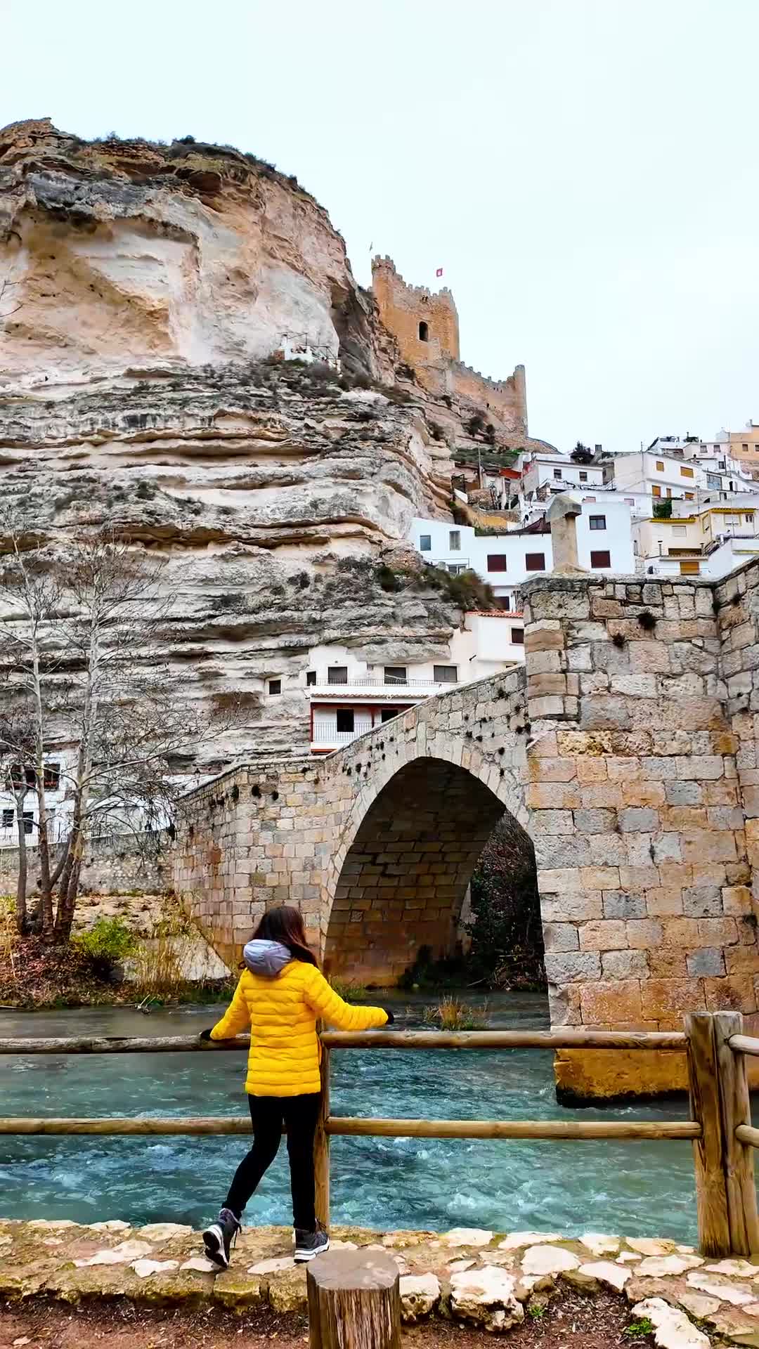
Activity
Alcalá del Júcar
Charming hilltop town with history

Photospot
Unlock to see location
Asturias geysers on coastal cliffs

Activity
Castellfollit de la Roca
Charming Catalan village with stunning views

Hike
Unlock to see location
Scenic coastal trail in Spain

Beach
Unlock to see location
Scenic drive with hidden beach
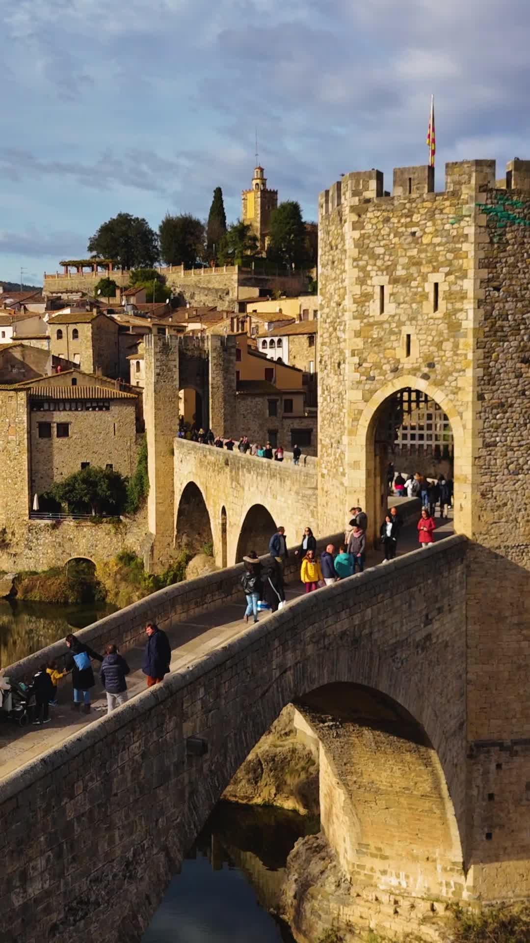
Activity
Unlock to see location
Medieval charm in historic Catalonia

Activity
Unlock to see location
Mountaintop village with medieval charm

Culture
El Capricho de Gaudí - Comillas
Quirky villa with Gaudí flair

Activity
Bocairent, Valencia, Spain
Charming town with history and nature

Looking for things to do?
Go check out my guide for the best free things to do as well as itineraries and travel tips to make your trip unforgettable.
Go to Guide
Rexby was founded in 2021 with the mission of enabling travel content creators to provide a better service and capture more of the immense value they are creating for the tourism industry
Backed by
Our licence
Kt: 6909211460
Vsk: 146757
