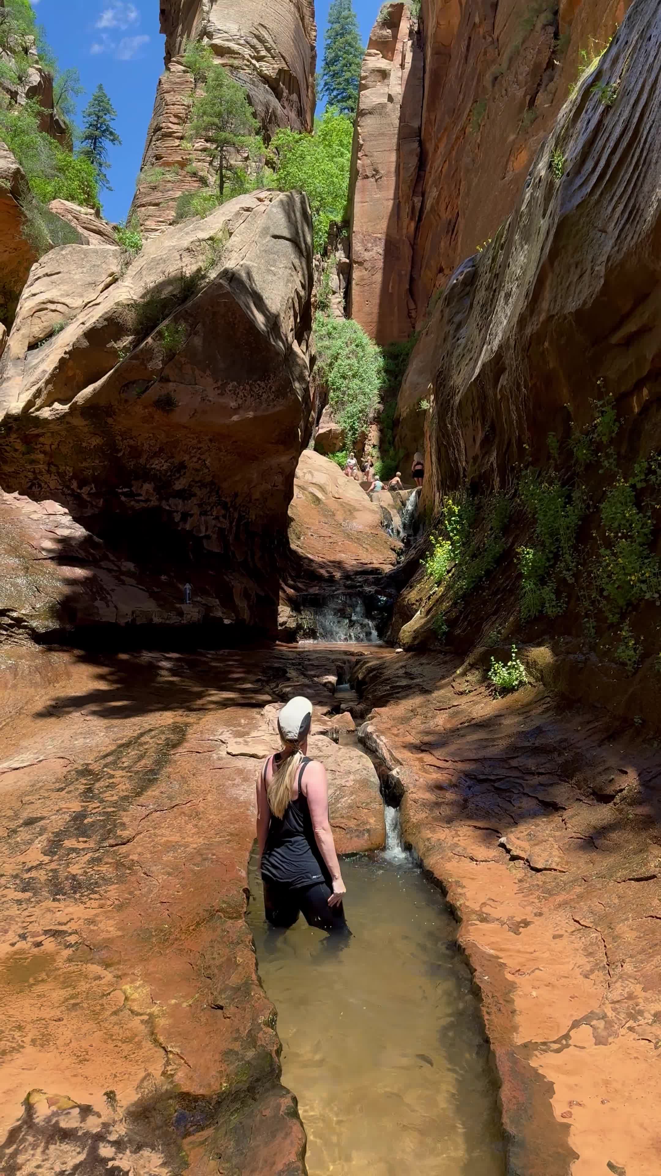
Photospot
Photospot
STATISTICS AT-A-GLANCE
HIKE NAME: Catstair Canyon
DISTANCE: There are two separate hikes here, see below. West = 0.5-1 miles RT, East = 1 RT
ELEVATION GAIN: <50 feet for both
RESTROOMS: No, but there are close at The Toadstool Trailhead
DOG FRIENDLY: Yes
PERMIT: No
FEE: No
VEHICLE REQUIREMENTS: 2wd
TRAILHEAD COORDINATES: See below - there are two separate trailheads and two hikes
MAP PROVIDED IN WEBSITE: See each individual linked below
Slot canyon should be used loosely here. This is FAR from the most impressive slot in the area, however this is a fun adventure if you're looking to break up the drive between Page and Kanab.
There are TWO separate hikes here and would suggest doing both.
West Entrance - cool cars in the canyon (0.5-1 miles RT)
Hiking map for West Entrance is
Coordinates for parking: 37.127159, -111.965691
East Entrance - multiple pictographs, petroglyphs, grinding slicks (1 mile RT)
Hiking map for East Entrance is
Coordinates for parking: 37.126438, -111.954707 // you will pass through a cattle gate so make sure you close it behind you
Want to see more?
I have created curated maps and itineraries for travellers that want to travel like me.