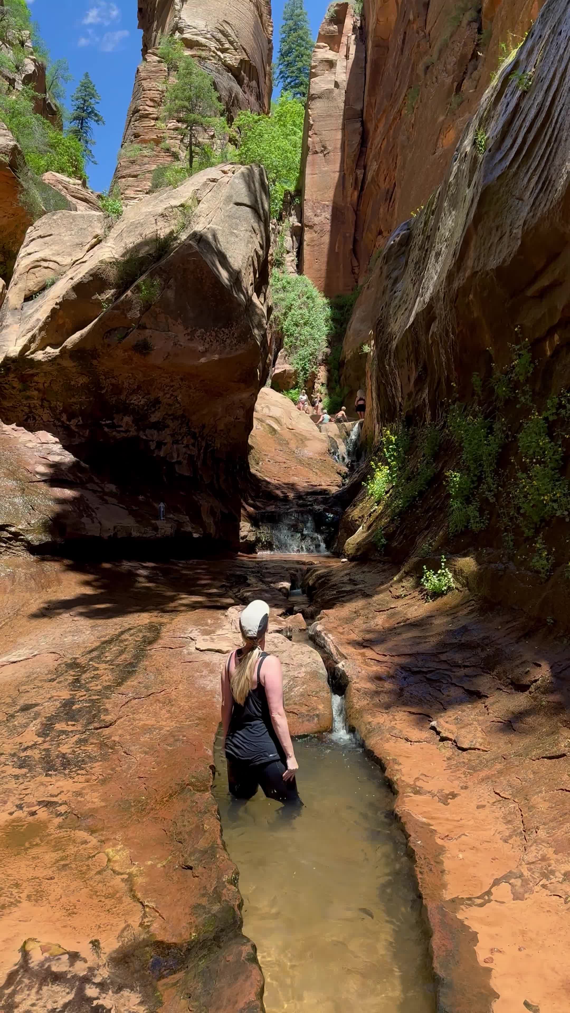
STATISTICS AT-A-GLANCE
HIKE NAME: The Subway (Bottom-up route)
DISTANCE: AllTrails states 7.2 miles RT, however I found it to be closer to 9 miles RT
ELEVATION GAIN: 1400 feet
RESTROOMS: Yes
DOG FRIENDLY: No
PERMIT: Yes -- see information below
FEE: Yes -- see information below ($6 Application fee + $10/person in addition to the National Park Fee)
VEHICLE REQUIREMENTS: 2wd, paved to TH
TRAILHEAD COORDINATES: 37.284678, -113.095943
MAP PROVIDED IN WEBSITE: Yes, AllTrails
Special notes - This is a water hike and the earlier you accept your feet will get wet, the easier it will be. Just barrel through the crossings and don't waste time trying to avoid getting wet. Its inevitable.
PERMIT + FEE INFORMATION:
You can access by hiking or canyoneering and both routes require a permit by advanced or daily lottery. Wilderness Permit Information can be found via Recreation.gov. I won a daily canyoneering permit, and once confirmed, chose Left Fork TH for both entry and exit indicating we would be hiking. There are 60 spots via seasonal lottery and 20 spots via daily lottery to = 80 people daily. Fee = $6 Application fee + $10/person in addition to the National Park Fee.
PHOTOGRAPHY TIPS - Its a long hike, but I would encourage you to arrive by mid-morning for the best light. We arrived at 0945 and had about 15 minutes of great light until the sun was directly overhead and harsh within the canyon. This will change depending on time of year. These pictures were from June 2 so for summer, plan to arrive by 0930 if possible.
SPECIAL PHOTO WAYPOINTS
THE CRACK (See Photo 3) The Crack (also known as The Chute) is a simple 5-inch x 25-ft. fracture line in the red river bed, only a few hundred yards from the Subway entrance. As the water from the North Creek flows through the crack, it creates a fascinating visual contrast between the crimson rock and water. Approx Coordinates: 37.310305, -113.053410 (When hiking to the subway, this crack will be on the right side of the canyon)
DINO TRACKS (See video HERE) A large bunch of dino tracks can be observed right off the trail hiking to The Subway. Approx 2.6 miles from the TH (Left Fork) you’ll encounter a massive couple of grey rocks on the left of the trail covered in 3-toed dinosaur prints. Given size and shape, I’m guessing they are from the Dilophosaurus, as they were known to roam this area. Part of the fun is finding them so exact coordinates will not be shared. They’re hard to miss, promise!
See a video of The Subway HERE


